Location
A “Location” report allows to monitor movement of the VH in the real time mode. Information on the VH is refreshed upon receipt of the new data.
The location is recorded according to the valid GPS data (upon identification over 3 satellites).
For more effective tracking of moving objects in the real time mode we suggest that you use “VH tracking” mode. For more effective tracking of objects in geofences please use “Hide VH outside geofences” mode.
“Location” report in a normal mode
- Select one or several VH
- Open “Mapping” tab and select “Location”
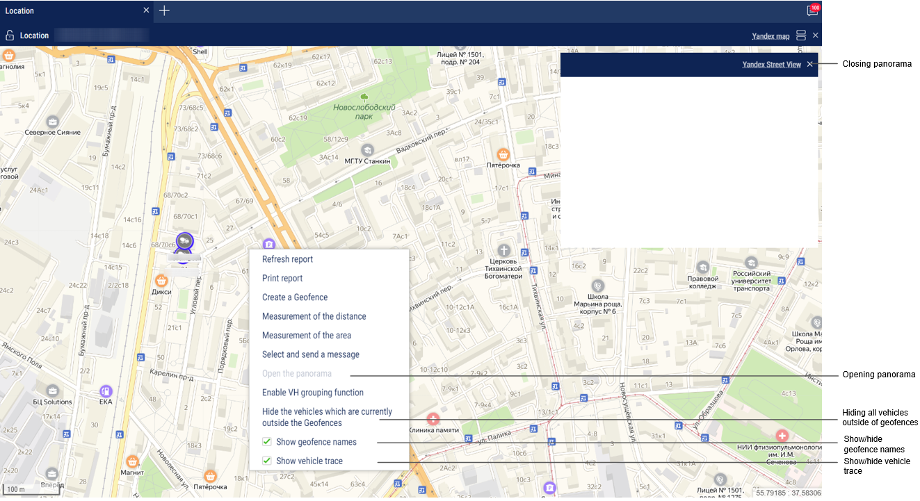
In the program window the map with the VH location will be displayed:
| When the ignition is on, the color of the icon corresponds to that chosen when setting the vehicle icon. The arrow indicates the direction of the vehicle | |
| When the ignition is turned off, the color of the icon is orange |
To view information on the VH move the cursor to the VH icon. To pin the tooltip window with the information on VH, press the left mouse button.
This report contains the following information on the VH:
- VH name is a name or registration number of the VH
- Date is a date of the last received data in DD/MM/YYYY HH:MM:SS format
- Speed, (km/h) is a speed of the VH at the moment of data transfer
- Address is an address of the last location
- Volume of fuel in primary tank is a volume of fuel in the primary tank at the moment of data transfer
- Volume of fuel in the additional tank is a volume of fuel in the additional tank (if there is such) at the moment of data transfer
- Ignition is on/off
- The date and time of the last correct GPS data are displayed if within 60 seconds, there were not valid data.
- Total mileage as per CAN – total vehicle mileage according to CAN bus data
- Current auxiliary equipment readings - current value or status of the auxiliary equipment
- Driver – driver registered on the vehicle
The format of the address and the content of the pop-up information about the vehicle can be configured in the object tree (see Settings of objects tree).
“Location” report in vehicle tracking mode
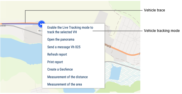
“VH tracking” enables automatic actualization of map display, providing permanent display of the VH in center of the map section.
In case for generation of “Location” report several VH are selected, it is required to select one VH pressing the left mouse button on the icon of the required VH. The name of the selected VH will be highlighted in red. In the vehicle menu, select to “Enable the tracking mode of the selected vehicle”.
Switching on the mode of the VH tracking enables recording of the report and when selecting another object or period the recorded report will not change. The report recording allows you to view reports on other objects simultaneously. After switching off of the VH tracking mode, the report is not automatically recorded.
“Location” report in the mode of the VH hiding outside the geofences
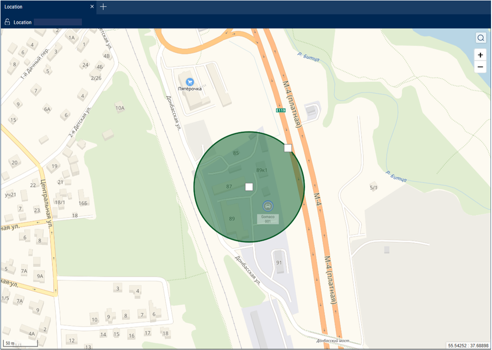
“Mode of VH hiding outside geofences” allows changing of the VH icons located outside the geofences:
The full name of the geofence is displayed when you hover the mouse over it.


