Geofences
Geofences data processing is performed with reference to user. Therefore, Omnicomm Online is going to process onlu entries and exits of VH from geofences owned by the client. The user with a dealer account can onlu view “Geofences” report against the geofences and client's VH.
Creation of the Geofences can be performed from the “Geofences” section and “Track” and “Location” reports.
In the “Geofences” section ![]() in the root catalogue press
in the root catalogue press ![]() to create geofences.
to create geofences.
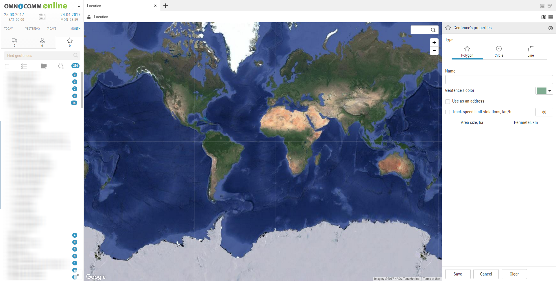
In the “Geofences properties” section:
“Type” — select a shape to be used to highlight the geofence. Allowed options: “Polygon”, “Circle”, “Line”.
“Name”, enter the geofence name.
“Geofence color”, select the color to highlight the geofence on the map.
For the geofence of “Circle” type specify “Radius, km” of the created geofence circle.
If necessary, specify the coordinates of the circle center in the fields “Latitude” and “Longitude”.
For the “Line” type geofence in the “Width, m” field select the width of the created geofence. Allowed values: from 10 to 100 m.
“Use instead the address”, display the geofence name in the reports instead of the address.
“Track speeding”, switching on recording of the event of speeding when the VH is in the geofence.
“Allowed speed, km/h” enter the value of maximum allowed speed for the VH located in the geofence upon exceeding of which the event “Speeding in the geofence” will be recorded. The field is active only with switched on tracking of speeding. Press “Save” button.
If it is required to view the reports on the created geofence for the passed period of time select the VH, specify the period of time and perform recalculation.


